-
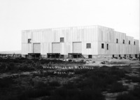 PC-2253
 "Warehouse at Rogerson;" metal-sided building
-
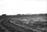 PC-2252
 "The Camp. Hollister;" wide view of early Hollister.
-
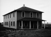 PC-2251
 "The Hotel at Rogerson;" wood frame building with wide front porch
-
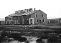 PC-2250
 "At Hollister;" Ostrander Lumber Company building
-
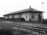
 PC-2249
 Rogerson, Idaho railroad depot (station)
-
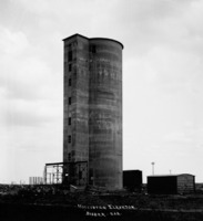 PC-2248
 "Hollister Elevator;" grain elevator and outbuildings
-
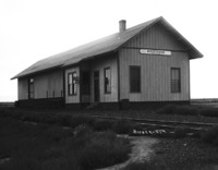
 PC-2247
 Hollister Railroad station (depot); long wooden frame buildnig standing next to the railroad tracks.
-
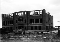 PC-2246
 "In Three Year Old Hollister;" three-story brick school under construction
-
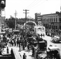 PC-2245
 Parade on Shoshone St; buildings and businesses visible include: Twin Falls Hardware Co.; First National Bank; Shoshone Grocery; Perrine Hotel Cigar Store; Western Union, Methodist Church
-
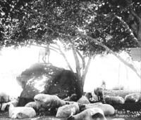 PC-2244
 "Fruit Pickers;" sheep below a tree; one sheep stands on a rock eating fruit from the tree.
-
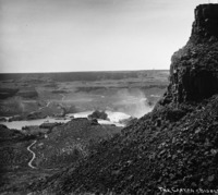 PC-2243
 "The Canyon;" view from the top of the north rim looking south toward Shoshone Falls.
-
 PC-2242
 "The Bride's Maid;" upper falls
-
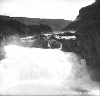
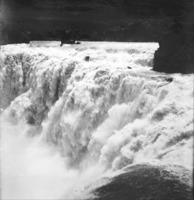
 PC-2241
 A close-up view of Shoshone Falls at full flow.
-
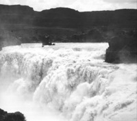
 PC-2240
 A close-up view of Shoshone Falls at full flow.
-
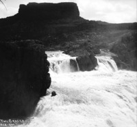 PC-2239
 "The Two Graces;" two of the upper falls at Shoshone Falls